Aditya Gangadharan
This project aims to identify optimal areas for conservation as large mammal corridors between the Periyar and Agasthyamalai landscapes based on both ecological and socioeconomic criteria.

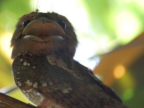
Sri Lanka Frogmouth, Shendurney. © Aditya Gangadharan.
The Agasthyamalai and Periyar-Srivilliputhur hills constitute the southernmost ranges of the Western Ghat mountains. They encompass six protected areas along the border between the states of Tamil Nadu and Kerala. They contain unique ecosystems and species, and are high priority areas for conservation. They were historically part of a single, wildlife rich forested landscape, but human pressure has reduced both animal numbers and connectivity. Large mammal movement between these two complexes of protected areas is increasingly rare owing to the rapid pace of development in the intervening mosaic of forests, plantations and settlements.

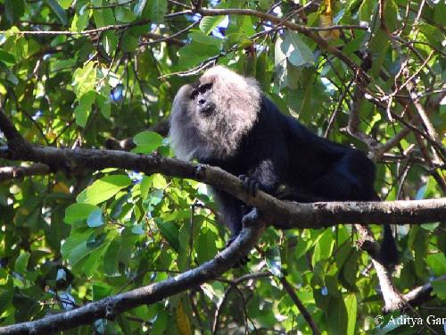
Lion Tailed Macaque, Shendurney. © Aditya Gangadharan.
Preserving connectivity between these ranges will help ensure the long term population viability of large mammals in the region. This is particularly important given their relatively low population densities. However, this needs to be planned based on quantitative, objective criteria.

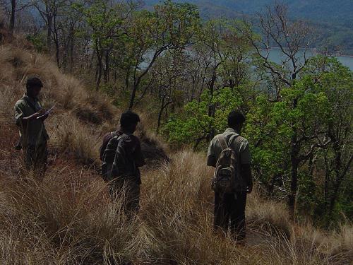
Data Collection, Thenmala. Photo by Srinivas V.
This project has the following major aims:
1. To identify areas that large mammals currently use in the intervening region between the two protected area complexes;
2. To identify areas they could potentially use in the long term if human disturbance was reduced.
These objectives require quantitative ecological data on animal distribution, habitat use and movement, as well as socioeconomic data on land use and users in the region between the two protected area complexes. This project will collect such ecological data on 4 umbrella species: elephant, tiger, gaur and lion-tailed macaque. It will also profile the local stakeholders in ecologically important areas in terms of their economic needs, forest dependency, attitudes towards conservation, conflict with wildlife and development expectations.
The methods to be used include occupancy surveys, photographic mark recapture surveys, GIS based modelling and semi structured interviews. The final outputs from this project are expected to be:
- Identification of the optimal areas for conservation as multi-species wildlife corridors, based on multiple ecological and socioeconomic criteria;
- The establishment of quantitative baseline ecological data on animal distribution, habitat use and movement in the region;
- Assessment of the potential for future participatory conservation initiatives with local stakeholders.
The project team comprises of Aditya Gangadharan, Srinivas V, and Sunita Ram.