Alfan A. Rija
Other projects
We aim to develop a spatial crime map of poaching and to improve conservation efficiency in the protected areas.

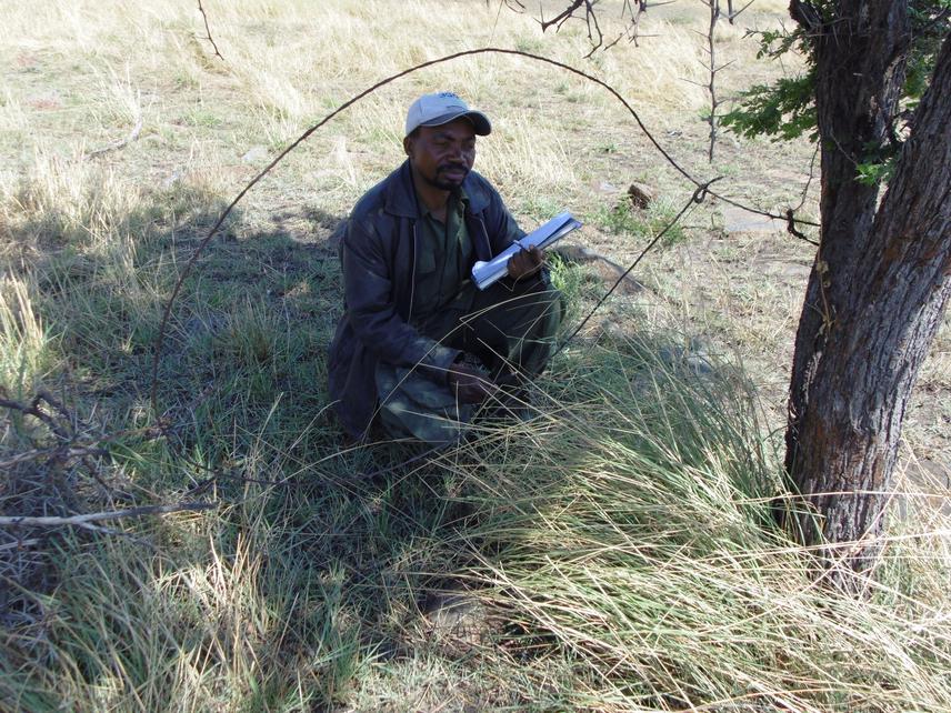
Researcher(Alfan) recording data in the field.
Poaching has increased in Tanzania and elsewhere in Africa. Government’s figures suggest over 850 elephants are poached each month (Special TZ Parliament Report, 2013). A recent analysis based on genetic assignment of the elephant ivory shows that most transnational seizures (from 2006-2014) originated from Tanzania (Wasser et al. 2015). While elephant poaching is currently topical, poaching for bushmeat also occurs on a staggering scale. Each year 100,000 wildebeest and <70,000 other herbivores are estimated to be poached from the Serengeti’s iconic migration (Rentsch & Packer 2014). Such precipitous loss of iconic species threatens the viability of one of the world’s remaining wildlife migrations and therefore the Tanzania’s tourism trade, and also provides illicit income to terrorist and organised crime cartels internationally (Scanlon 2012).
Tackling poaching is a current concern for the Tanzanian government. A recent anti-poaching push in 2014, resulted in 950 arrests in just two months, but was suspended due to allegations of widespread human rights abuse. To prevent resurgence, existing anti-poaching measures need to be improved within protected areas using existing budgets. This project will collect information on the spatial distribution of poaching in the Serengeti ecosystem to develop spatial crime maps to help re-direct anti-poaching effort to efficiently target poaching hotspots. We will use standardized transect walks with Distance sampling methods to collate data as well as foster expertise for the local field managers to enhance effective conservation monitoring in the protected areas.