Andrew Chilombo
The contemporary phenomenon of large scale land acquisitions (LSLAs) for food security, financial investments, carbon markets and biofuel production, have spurred bifurcated debates among stakeholders. Research on LSLAs focus more on socio-economic implications with little attention to environmental implications. It remains a scholarly imperative to generate knowledge at community level where LSLAs happen to substantiate anecdotal claims that tend to take potential socio-economic and environmental implications for actual ones. This research seeks to interrogate and understand a government of Zambia-led agricultural farm block program to understand its biodiversity and socio-economic implications at community level where it is being implemented. The research takes Nansanga farm block (NFB) in central Zambia to understand the threats to plant and animal species as well as habitats, besides the socio-economic implications of the program. NFB is situated in between Kansanka National Park in the North and a forest reserve in the South West.

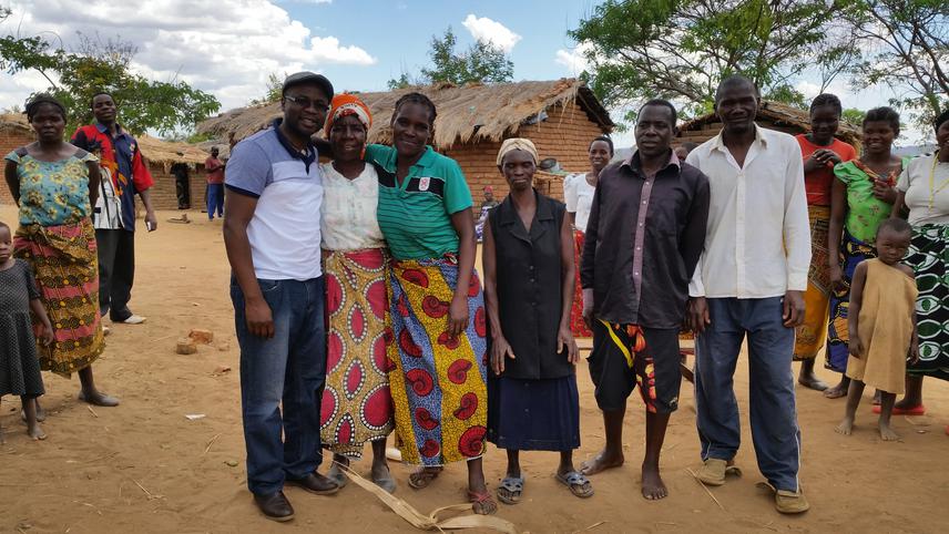
Andrew Chilombo with a community in Nyika Conservation Area.
Zambia is about twice the size of Germany, and has a population projected to be about 18 million by 2020. It has about 175 National Forests and 305 Local Forests. A total of 20 National parks cover about 63,630Km2 (6,363,000ha), and 36 game management areas (GMAs) cover 167,557Km2 (16,755,700ha). About 66 percent is forest land. With this resource endowment, Zambia is not an exception to large scale land acquisitions (LSLAs) that have stirred bifurcated debates among different interest groups. The investigations into the phenomenon take a geopolitical lens that categorises the global north as ‘resource poor, financial haves’ and the global south as ‘resource rich, financial have-nots.’ These analyses pay little attention to implications on biodiversity. They share a common caveat: reliability of data.
In 2002 the Zambian government decreed the establishment of farm blocks across the country. Using Participatory Rural Appraisal approaches, this project seeks to interrogate and understand the biodiversity and socio-economic implications of the farm block program in Nansanga, at community level. The farm block program is a LSLA that introduces commercial agriculture that constitutes land use change. What is being lost or threatened to be lost at biodiversity level due to LSLA in Nansanga? How are communities adapting to customary land tenure change and the introduction of commercial agriculture? How has that shaped people’s socio-ecological system and the way they are interacting with it?
Community Wealth Ranking will be conducted to understand how communities are adapting to the commercialisation and privatisation of their customary land. Transect walks will also be used to understand the asset portfolio in Nansanga farm block. The traditional leadership comprising the Chilolos and the Sulutanis (Senior Chief Advisers and village headmen, respectively), and other key informants from within the farm block will take part in transect walks, resource and species identification and mapping. They are a repository of traditional knowledge. This research will therefore, elevate the profile of community members from information-givers to co-producers of knowledge.
There is no baseline for this research due to paucity of research data on the species composition, distribution and diversity in the project area. A recall approach will be used to indicate relative presence/abundance/change in habitats and species. This will qualitatively be explored. The approach will be complemented by use of the Zambia land cover maps for 2000, 2010 and 2017, as well as the Zambia Sentinel 2 Land Use Land Change map 2016.