Bernard Essel
The project aims to achieve by the end of the one year, these goals (that is its short term goals): to create a GIS database of the lagoon and raise awareness/education on the conservation of the lagoon.
The long term goals of the project will be to firstly ensure the protection of the marsh vegetation from encroachment. The project will ensure the marsh vegetation is protected from encroachers through the setting up of the Friends for Fosu Lagoon club. Secondly, the project will ensure the stoppage of the discharge of pollutants into the lagoon. Last but not least, the project will ensure the protection of the wading birds. This will ensure reduction in disturbance on the warding birds.

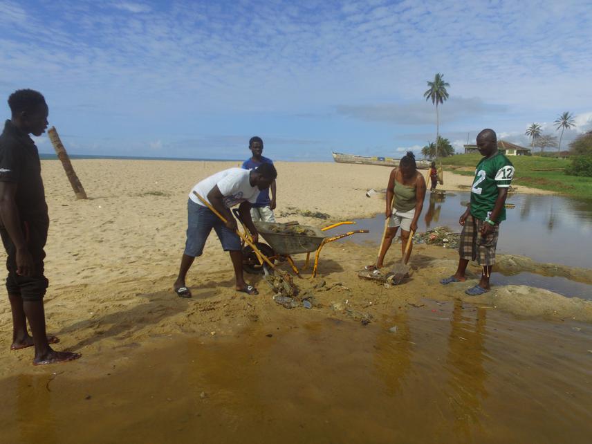
Clean-up activities.
Like many coastal lagoons in Ghana, Fosu lagoon is a major source of livelihood for the surrounding communities. It also serves as staging, feeding and roosting areas for water birds. Again, the associated marsh vegetation support biodiversity. However, the lagoon and the associated marsh vegetation is under serious threat from human- induced interference. The lagoon is considered as one of the most polluted lagoons in Ghana. It is surrounded by communities, metropolis transport garage, mechanical workshop, an educational institution and a hospital. These surrounding infrastructure put a lot of stress on the lagoon ecosystem since it serves as recipient of discharge of pollutants, hence threatening biodiversity. In addition, the marsh vegetation has seen drastic reduction in size. Consequently, it has reduced species diversity. Not only that, there has been a decline of wading birds feeding and roosting in the marsh vegetation. This is due to high disturbance from the surrounding communities.
Against these challenges, the project seeks to conserve the lagoon and its mash vegetation through community-based approach and developing a GIS database of the habitat.
This project will adopt a GIS technique and community-based approach. Hence, the activities to be executed under the GIS technique are cadastral plan and the development of GIS database of the site. It will categorise the vegetation types, map the current conditions of the ecological units and map all locations of areas under threat and encroachment. Additionally, the Rufford project will be to embark on building the capacity of the community to take the responsibility of managing the lagoon, it associated mash vegetation and the wading birds. This activity will comprise community group meetings, radio broadcast education, engagement with major stakeholders, formation of Friends of Fosu Lagoon Club (FFLC), training of the FFLC members, mounting of billboards/signpost, creation of a website and communal clean-up activities at the lagoon.