Cuong Nguyen Dang
Other projects
21 Jun 2024
Conservation of Madhuca Pasquieri (Dubard) H.Ja Species Through In-Situ and Ex-Situ Conservation and Strengthening Local Capacity
A detailed understanding of the ecology of individual species is important for conservation, especially for endangered or declining species. The project will be conducted in Thai Nguyen province where high biodiversity has been recognised but is suffering from negative effects on habitat such as illegal logging, conversion of forest land into agriculture land resulting in forest cover decrease. Madhuca pasquieri (Dubard) is one of the most threatened species in Northern of Vietnam (listed as VU in IUCN Red List; listed as EN in Vietnam Red-book list). Besides, local forest rangers lack of information of exactly distribution areas and suitable areas for Madhuca pasquieri.

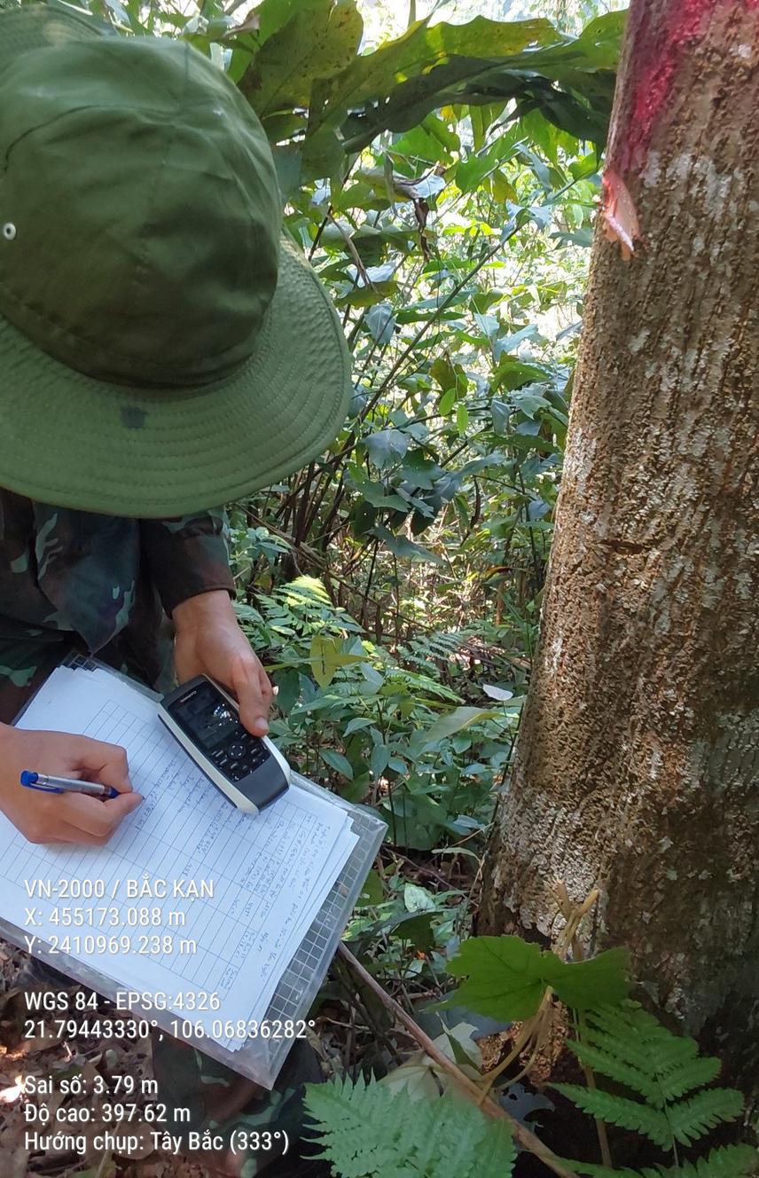
Forest survey.
The knowledge of species distribution is critical for reporting its conservation status and point out Madhuca pasquieri species distribution and habitat suitability as well. The project will be conducted to:
(1) build ecological database of Madhuca pasquieri species distribution. Spatial distribution and ecological distribution characteristics of Madhuca pasquieri will be developed and stored in QGIS environment.
(2) assess suitable areas for Madhuca pasquieri (Dubard) H.Ja. The MaxEnt model will be used to identify potential species distribution and the habitat suitability of species, area under the receiver operating characteristic curve value (AUC) will be used for evaluating the predictive performance of the Maxent model, to assess the importance of environmental variables of Madhuca pasquieri contribution rate, permutation importance and Jackknife test will be used.
The results of the project point out information of exactly distribution areas for Madhuca pasquieri, Information of the ecological database. Maps of spatial distribution and habitat suitability of Madhuca pasquieri will be developed in GIS environment. A map of individual distribution and ecological database will be provided to the local forest rangers supporting to manage existing individuals of Madhuca pasquieri, and the local forest rangers will be trained on using QGIS software and handy GPS to update new individuals of species. The habitat suitability mapping will be used to guide practical conservation intervention such as sapling planting for local management authority’s planning in the next years.