Dario Alejandro Moreira Arce
Other projects
28 Nov 2011
Conservation of Critically Endangered Darwin’s Fox in a Human-Dominated and Multi-Competitor Landscape in Central South Chile
The objective of this project are to describe the spatial ecology of Darwin's fox and to assess the key habitats for the persistence of the population on this human-dominated landscape.

The smallest population of the critically endangered Darwin's fox is known within Nahuelbuta National Park located in a highly modified landscape in central-south Chile. The ecology of the mainland population of Darwin's fox is almost unknown and crucial for its long-term conservation.
Recent camera-trapping confirmed habitat use of Darwin's fox is not only restricted to this protected area. This monitoring revealed Darwin's fox mainly occurring in mature native forest with this habitat being under a high pressure due to human activities. Recent camera-trap monitoring conducted by our team in surrounding lands of NNP confirmed that habitat use by Darwin's fox is not restricted to this protected area, and suggests population may be larger that supposed. Darwin's fox is encountered most frequently in native forest rather than in plantations and agricultural lands. It also shows a negative association to human activity and other native carnivores.
In addition, monitoring also showed forest habitats are widely used by livestock and local people to collect forest products. Thus, the ability of the species to persist within increasingly human-dominated habitats is unclear. Consequently Darwin's fox survival will depend on the preservation and improvement of their habitat conditions. Thus, assessing the habitat selection of this species has become necessary to guide and streamline conservation efforts for population persistence in this managed landscape.
The objective of this project is to document Darwin's fox spatial ecology to assess the key habitats for the persistence of the population on this managed landscape in order guide the conservation on this population.
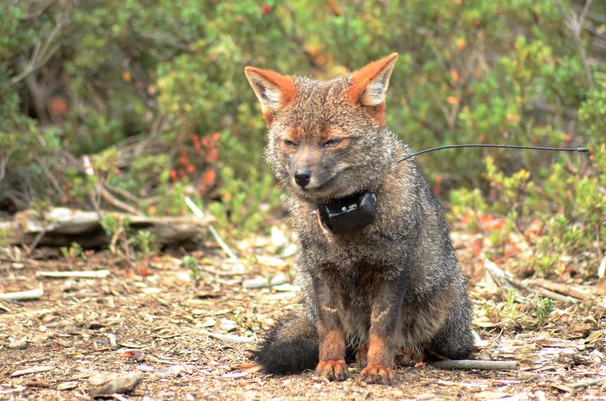
We will use GPS collars on captured foxes to collect spatial information for over 8 months. We will use ArcGis 10.1 software to calculate different spatial metrics at individual and population level. Similarly, we will model habitat selection of Darwin's fox using GPS-location data. We will use a single multispectral, high-resolution (10m) satellite imagery (SPOT) to generate a GIS land cover map of the study area. We will develop resource selection function models (RSF) to assess habitat selection. Our project will contribute with relevant and finer scale ecological information of Darwin's fox population(s). This information is demanded for the current action plan of Darwin's fox recently developed by the Chilean Ministry of Environment.