Neeraj Sharma
The project aims to validate the presence and distribution of large carnivores and their prey base in Kishtwar High Altitude National Park and its neighbourhood in Jammu and Kashmir besides highlighting the human wildlife-conflict scenario in the protected area.

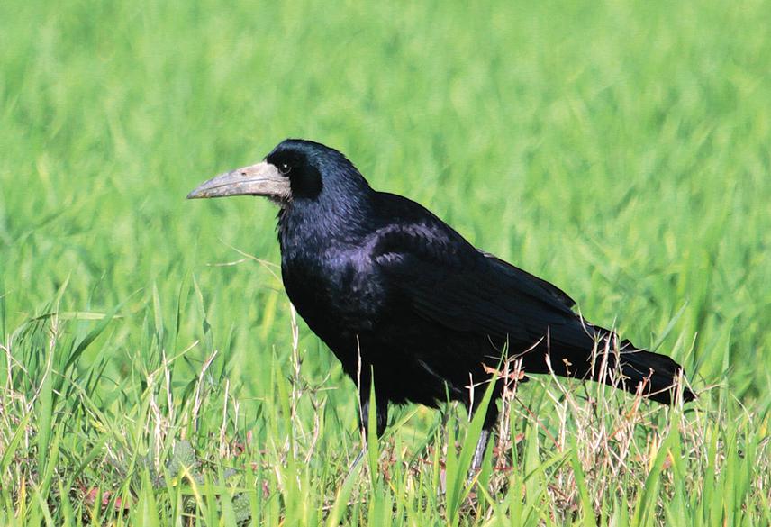
Rook foraging in a freshly tilled field.
Kishtwar High Altitude National Park (KHNP), established in year 1981 provides representative and distinct habitat interfaces of the snow leopard between moist Pir-Panjal Range and rugged steppe grass-lands of adjoining Trans-Himalayas (Zanskar, Ladakh). Other carnivores like leopard, brown bear and Himalayan fox are also reported in the region. The current status and extent of distribution of large mammals from this region is largely unknown and thus an extensive and focused search is required to establish their occupancy in KHNP and its neighbourhood. Besides establishing the presence of globally endangered snow leopard and endemic Kashmir stag including other mammals, the study will generate baseline information about their composition, diversity, abundance, distribution (past and present) and habitat use. The investigations will impart insights to the ecological integrity and connectedness of wildlife habitats. The socio-cultural significance of animals, man-wildlife conflict and other anthropogenic factors prevalent in the area will also be highlighted through community interactions and formal consultations.
KHNP is located between 33020′ & 34004′ North and 75040′ & 76010′ East (Department of Wildlife protection, 1981) covering an area of 1700 Km2 (1250 Km2 under permanent snow/glacier and 450 Km2 under forest cover) with an elevation range of 1800 m asl to 6000 m asl. Most of our studies shall be restricted to Nanth, Kiyar, Kibber and Marwah watersheds besides the adjoining northeastern Bhot watershed bordering Zanskar with in an elevation of 4800 m asl. The vegetation is primarily moist temperate (coniferous and broadleaved) forests grading northwards into sub-alpine scrub, alpine meadows and rocky outcrops with permanent snow cover.
We plan to conduct a 15 days reconnaissance survey for the identification and marking of vantage points and sampling sites followed by an 8 month long field work split into two seasons, i.e. September-October 2015 and March-August, 2016.
The methodologies include:
i) Sign surveys (scat, pug-marks, kills, claw marks) using transect method and incidental detection method) for the occurrence and habitat characterization (for type, ruggedness, terrain, altitude, aspect, distance from habitation etc. using GPS and DEM using quantum GIS). For monitoring of snow leopard, SLIMS (Jackson and Hunter, 1996) shall be applied while abundance and densities of prey species will be calculated following Nievergelt (1981).
ii) Occupancy modelling (following Mackenzie 2004 and species detection and colonization using PRESENCE 5.5 (Hines, 2006),
iii) Secondary Information on conflicts (livestock predation, prey and predators involved, associated reasons of attack, location of attack etc.) using questionnaire approach,
iv) Vegetation classification following Champion and Seth (1968) and mapping the land use / land cover extent on IRS LISS IV satellite data using QGIS 1.8.0,
v) Public consultation and research outreach programmes to be conducted from time to time to impart awareness to the villagers and tourists in and around KHNP.