Vedharajan Balaji
Other projects
18 Jan 2016
Strengthening Participatory Dugong Habitat Conservation and Awareness in Northern Palk Bay
5 Aug 2019
Upgrading Dugong Rescue and Release Unit and Expanding Volunteer Network with Local Stakeholders
The project will provide the baseline information to know the current status of nearshore seagrass beds, and to identify suitable seagrass restoration sites. The proposed project will produce GIS map of nearshore seagrasses within village boundary using open source softwares and community participation. These maps will be printed to display at the village community halls.

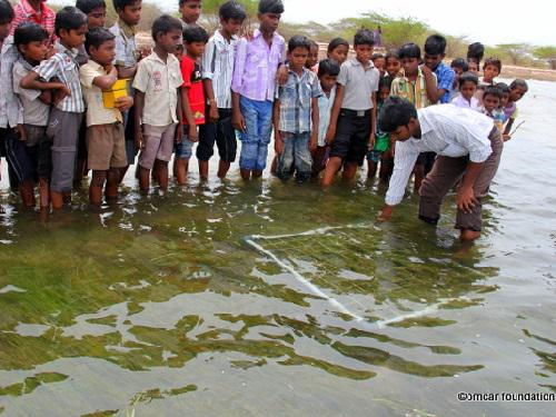
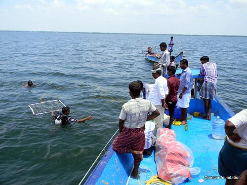
The project will produce GIS map of nearshore seagrasses within village boundary using open source softwares and community participation. These maps will be printed to display at the village community halls. The seagrass data obtained in the survey will be updated with seagrass watch, and will be published in its international newsletters. It is expected to generate 30-40 volunteers from each village, who will be trained to participate in seagrass mapping, in initial and follow up yearly monitoring. Hence, this project will transfer the conservation knowledge and research methods to local community. The volunteers will learn about handheld GPS operation, seagrass scientific names, transects, quadrates, measuring percentage cover, biomass, health status and underwater photography.

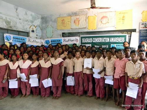
As the continuation of our monthly environmental education programme for local schools at OMCAR Palk Bay Environmental Education Centre, this project will teach about seagrass conservation to 500 students from different schools. About 500 copies of seagrass booklet will be distributed to the school students. All the women self help groups will be invited to participate in the awareness programme in villages. Two numbers of 10 feet X 6 feet sized posters will be permanently displayed in two public places, which will explain about seagrass conservation and this project. All the project activities will be published in OMCAR website and other social websites.

By performing above mentioned activities, this project will widely reach both international and local community. The project outputs will be used to plan for seagrass restoration as a follow up. Displayed seagrass GIS maps in community halls will bring the ownership of local community on the nearshore seagrass beds, so that the follow up restoration efforts can be synchronized through the same village administration units in future.