Erasme Uyizeye
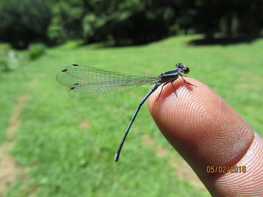
The project will develop a biological monitoring tool, Dragonfly Biotic Index (DBI). DBI is a highly sensitive index with a wide spectrum of odonates’ species sensitivity. It detects changes in habitat conditions caused by pollution, degradation, or alien species invasion. It also serves as a measure for a habitat’s recovery process. Once developed, the DBI will be used in monitoring habitat recovery and prioritizing sites that need special conservation attention within the most important watershed of the country and the region, Congo Nile Crest (CNC) watershed. The DBI is urgently needed and appropriate to Rwanda.

The country’s commitment to restore degraded habitats has lead to the creation of a restoration based national park called Gihwati Mukura National Park. The law establishing the national park was signed and gazetted in 2016. The park is made of two remnant forests, Gishwati and Mukura forests located along the Congo Nile Crest watershed. The objective for this national park is not only to enhance ecological and economic benefits, but also to establish a model for bouncing a degraded habitat back to health. However, this restoration model is still missing an ecological-oriented tool that can reflect the success or failure of recovery. Additionally, there is a need to identify other potential priority sections of the watershed that have high ecological importance and had fallen outside the new national park boundaries. DBI is timely proposed. So far, it has been successfully employed in a few other countries. DBI was selected because of its uniqueness to capture both terrestrial and aquatic ecological states. Moreover, the tool operates at the species level, as opposed to other traditional monitoring tools that have restrictedly been focusing on either terrestrial or aquatic and operating at higher taxa level or looking at only physico-chemical parameters.
The project is divided into two phases:
• Phase I consists of an extensive survey of odonates across the country and updating odonates’ species catalogue. The five provinces of the country will be the main surveying units. (North, South,West, East and the capital in the center) overlapping with the four eco-regions of the country (Montane humid, Low grassland, dry savanna and tropical rain forest, low and urban area). In addition to geographic distribution index, sensitivity and IUCN threat status indices of each species will be determined. The product of this phase will be to establish a DBI based scoring system for Rwanda.
• Phase II consists of applying the DBI to the most important watershed of the country, Congo Nile Crest watershed. The objective of this study will be to find areas of the watershed that need special attention for conservation or restoration. There are many reasons that motivated the project to focus on the Congo Nile Crest watershed. These include: the watershed generates more that 70% of the water running across the whole country and it is one of the furthest sources of the two biggest rivers of Africa: Nile and Congo River that support millions of people in downstream countries.