José António Lemos Barão Nóbrega
Over the last two decades decades, the Yucatan Peninsula portion of Mexico and Northern Guatemala have experienced extreme drought periods which is particularly concerning as these areas do not contain any rivers or streams, and most waterbodies available for fauna and human populations represent small ponds that fill with rainfall (aguadas). The major aim of this project is to take the first steps towards standardized monitoring and an integrated management plan for the Selva Maya by training and equipping personnel from the local environmental authority (National Commission of Protected Areas - CONAP) operating in El-Mirador National Park (MNP) in Guatemala to conduct their own monitoring project using methodology already being used in Calakmul Biosphere Reserve (CBR) in Mexico by Operation Wallacea.

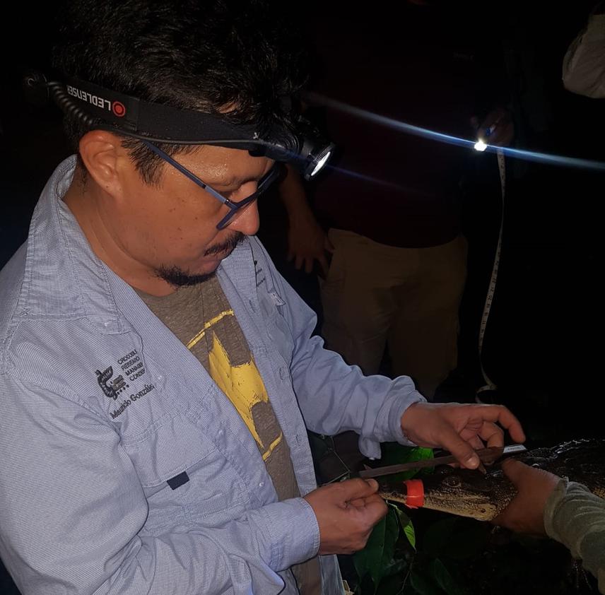
Crocodile survey.
The Selva Maya is an important biological corridor of 10.6 million hectares of continuous tropical forest in Mexico, Belize and Guatemala. IUCN aims to have one integrated management plan for the entire Selva Maya by 2030, which would require standardized biodiversity monitoring across the region to inform conservation management decisions.
This project will take the first steps towards standardized monitoring and an integrated management plan for the Selva Maya by training and equipping personnel from the local environmental authority (National Commission of Protected Areas - CONAP) operating in El-Mirador National Park (MNP) in Guatemala to conduct their own monitoring project using methodology already being used in Calakmul Biosphere Reserve (CBR) in Mexico by Operation Wallacea.
The main objectives of this training are: (1) to deliver science lectures in methods of biodiversity monitoring including sampling techniques, project design and data collection methodologies to provide insight into the role of monitoring in conservation; (2) capacitate CONAP personnel in survey methods for monitoring of waterbodies, habitat, primates, felids, ungulates and herpetofauna; (3) provide training in data collection and preliminary data handling using a data entry system on mobile devices; (4) run a series of discussion groups with local environmental authorities operation in the region to design future strategies for the inclusion of additional survey locations and taxonomic groups to the monitoring project in the upcoming years, including overall planning and rough budgeting for the corresponding equipment and training this project expansion would require. Acoustic survey methods for birds and bats will then be trialled in CBR, including building up a species-specific call library for the Selva Maya so that bird and bat surveys may later be added to the monitoring in both reserves.
Biodiversity monitoring data will then be simultaneously collected by 10 trained and equipped personnel from CONAP in MNP and by Operation Wallacea in CBR. Collectively, the project will result in the first standardized monitoring dataset from two major reserves in two countries of the Selva Maya. Following the training period, CONAP can then continue with biodiversity monitoring in MNP on their own each year to coincide with the monitoring in CBR carried by Operation Wallacea. MNP was specifically chosen as the first site for comparable monitoring in Guatemala because their dedicated personnel have the time and resources to carry on monitoring after this project terminates.