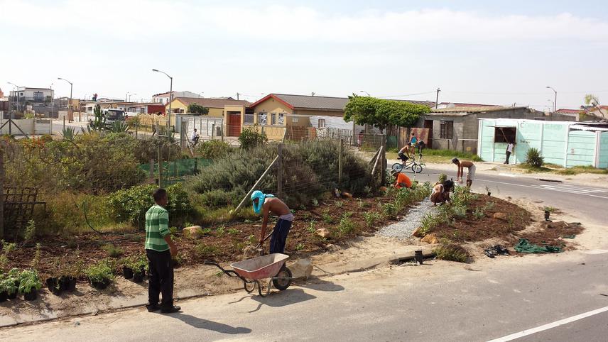
Social media video featuring the project.
Mapping Illicitly Harvested Biodiversity
20 Sep 2011 Cape Town, South Africa, Africa Plants
Herbanisation: Open-Access, Indigenous Medicinal Street Gardens for Healing, Greening and Connecting in Marginalized Neighbourhoods of Cape Town, South Africa
The project aims to pilot development of GPS reference habitat management tools detailing locally illicitly harvested species in order to enhance conservation efforts.
Mander et al. (2007) reports extensive anthropogenic trade and use of biodiversity by 80% of the South African population – primarily traditional medicines. The exponentially expanding City of Cape Town has meant that local public open space and protected areas are increasingly inundated by hundreds of illegal cultural and cash driven resource harvesters.

The initial findings of research by Petersen et al. (pending) reveals an exploited species compendium with 448 species of locally harvested wild flora and fauna. Up to 25% of these species hold ‘Near Threatened’ to ‘Critically Endangered’ status (Raimondo, van Staden et al. 2010). Numerous contemporary harvesting ‘hot-spots’ have emerged within the City conservation estate, for example more than 10,000 bulbs of Tulbaghia capensis (wild garlic) have been confiscated by law enforcement officials from illegal harvesters within eight months from the 300 ha Tygerberg Nature Reserve (Glanville 2010). With formal unemployment above 25% and an influx of traditional rural migrants to the City who share local cultural preferences for wild medicines it is inevitable that anthropogenic pressures from harvesting in conservation areas will substantially increase at detriment to natural capital, resulting in biodiversity loss.
This project aims to, through a pilot exercise centrally record the localities and features of economically utilised species and their habitats. To be better prepared for the rapidly growing environmental threat and management challenge that illicit harvesting poses to conservation efforts, we will compile existing law enforcement data, GPS coordinates, and habitat information into database and GIS tools to systematically record specific localities of harvested and known potentially harvestable materials from within Cape Town’s formal conservation estate.
This management tool will become a creative future proofing mechanism at a species, community and habitat level by recording in-situ the general habitats of known economically important indigenous species. It will furthermore increase understanding of anthropogenic trends for the dynamic activity of biodiversity harvesting from the conservation landscape. Data such as what is being harvested, where it is being harvested from, when harvesting was recorded, harvest purpose, parts utilised, images of gathered materials, and quantities harvested can be recorded within the database tool in real time. Such data will greatly assist management decision making and potential local economic development programmes pertaining to local biological resources.
Social media video featuring the project.
Mapping Illicitly Harvested Biodiversity