Paul Henric P. Gojo Cruz
Conduct a herpetofaunal survey of the area in order to develop species list and distribution maps and to assess ecological conditions which influences herpetofaunal diversity.

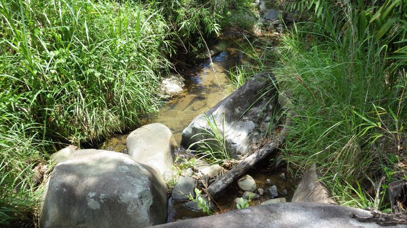
One of the freshwater streams in the area which provides water for the community.
The Philippines harbors one of the highest levels of herpetofaunal diversity. The number of endemic species is also one of the highest in the world. About 98% of recorded amphibians and 65% of recorded reptiles in the country are endemic. This high level of diversity and endemism is currently threatened by both natural and man-made environmental changes. The general lack of data on the ecology, distribution, population trends, and abundance of more than 85% of the amphibian fauna and over 90% of the reptilian fauna impedes a more accurate assessment of their conservation status (Diesmos et al., 2002). In order to provide effective conservation efforts in protecting our wildlife, inventories should be done first so that effective conservation action can be done.

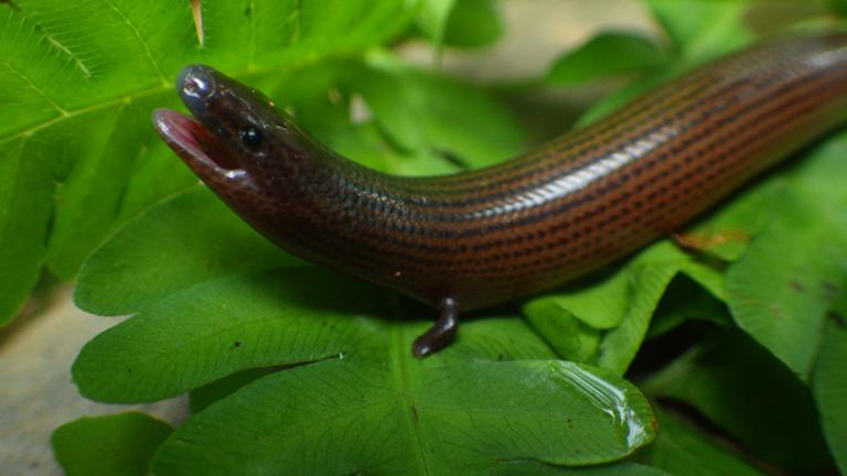
Brachymeles elerae, one of the two species of tetradactyl fossorial skinks from Luzon.
This study will provide baseline information on the herpetofauna found in Pantabangan-Carranglan Watershed. The wide array of habitats within these mountains may have resulted in the evolution of unique forms which may be new to science. A thorough survey that can be done for this area may reveal significant discoveries. Specifically, the study aims to: (1) identify the species of amphibians and reptiles within the area; (2) provide mapped distribution of the herpetofauna; (3) determine factors which affect herpetofaunal diversity and distribution in the area; and (4) relate the herpetofauna of the area with those of the Caraballo and Sierre Madre Mountain Ranges.
Survey areas will include the primary forest, pine forest, grassland areas and agricultural areas within the selected study areas. Each area will be surveyed using standardized 10m x 100m strip transects distributed among different elevations. The vegetative composition and environmental conditions of each strip transects will be noted. The exact location of each transects and species will also be determined using global positioning system (GPS). This will be used in developing distribution maps. Field techniques will involve a combination of timed searches, recording of advertisement calls and microhabitat sampling. Voucher specimens will be taken from the field for proper identification. These specimens will be preserved following standardized preservation techniques and all the samples will be deposited in museums for future study. Photographs of each species will be taken in their natural habitat. Additional information such as number of individuals per species and morphometrics will be noted. Project outputs will include species inventory, distribution maps, acoustic libraries, natural history of species, and high quality image of the habitat and species for publication and IEC materials.