Moses Nsanyi Sainge
Other projects
15 Feb 2012
Biodiversity Assessment and Conservation Status of Plants in the Mbembe Forest Reserve of Donga Mantung Division in the North West Region of Cameroon
12 Sep 2013
Dissemination of Findings of Biodiversity Assessment and Conservation Status of Plants in the Mbembe Forest Reserve of Donga Mantung Division in the North West Region (NWR) of Cameroon
21 Apr 2016
Floristic Diversity across the Cameroon Mountains: A Case study of the Bakossi National Park, and the Mt Nlonako
To understand the Biodiversity Patterns of Plants distribution, Endemism , and climate change effect across the Cameroon Mountains.

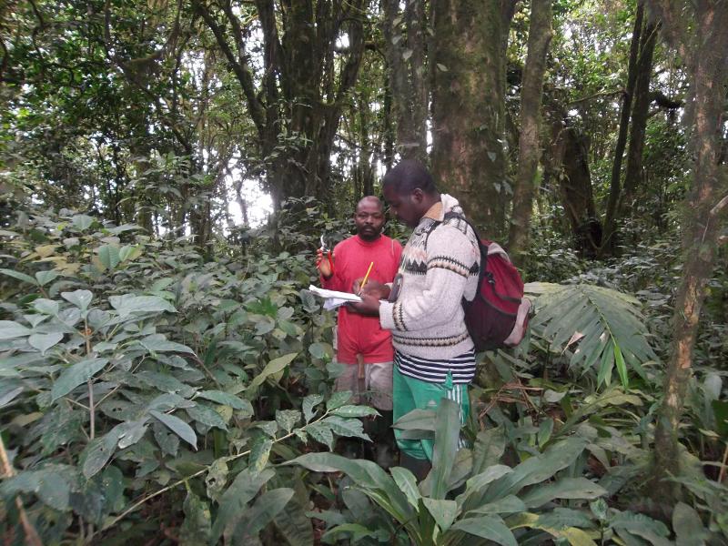
This project will be based on field-collected data, supplemented by review of existing botanical literature. 50 1-ha plots will be establish across the landscape between Rumpi Hills and Kimbi, effectively filling major gaps in botanical knowledge of the region. The focus will be on improving conservation priorities based on much more thorough documentation of current distributional patterns. These patterns will be interpreted via ecological niche model assessments in the face of climate change. Project results will thus enable an understanding of patterns of species’ distribution, richness, endemism, and threats, as well as effective strategies for their conservation. It will produce a state-of-knowledge dataset and summary of the vegetation and flora of the Cameroon Mountain region, illuminating the particulars of species’ geographic distributions, and a much-improved view of strategies for biodiversity conservation in the face of climate change.
In this study, we will characterize the biodiversity of the different mountain masses across the region. We will compare plant diversity and community composition between wet (Rumpi Hills) and dry (Kimbi Forest Reserve) regions. The above strategies will be achieved using standard methods of assessing plant diversity in tropical forest such as Condit (1998), Pyke et al. (2001), and the “Tropical Ecology, Assessment and Monitoring” Network (TEAM, 2010) to sample the biodiversity of the Cameroon Mountains. But in our case, individual plants, and shrubs will be sampled by giving them arbitrary continuous sampling numbers per plot. This means individual plants will not be tagged and mapped with permanent numbers as in the case of the above methodology (Condit, Pyke and TEAM). Fifty 1-ha plots will be established randomly at the two selected sites on the Cameroon Mountains (Rumpi Hills, and Kimbi reserve) across multiple elevations and habitat types.
Based on topographical difference, each 1-ha plot will measure either 20 x 500 m or 100 x 100 m, and will be sub divided into 25 quadrats of 20 x 20 m each. GPS coordinates of the four corners of each plot will be recorded via careful, repeated measures, to assure accuracy. All standing trees and lianas with diameter at breast height (DBH, 1.3 m) ≥ 10 cm will be measured with a diameter tape, and 5 selected quadrats per hectare will be used to measure trees and lianas of DBH, 1 - 9.9 cm with the aid of a calliper.