Sonali Saha
Other projects
Institutional capacity building in northeastern India to impart training in ecohydrology and GIS tools for the conservation of freshwater ecosystems.

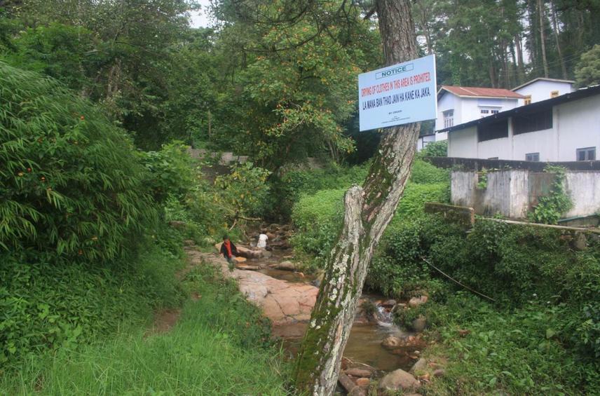
Wahdienglieng stream in Risa Colony, Shillong.
Conserving habitat, biodiversity and ecosystem services amid escalating multiple-use and often conflicting demands require a catchment-level perspective along with techniques of hydrological, ecosystem and landscape monitoring/analysis. However, there are no educational courses in the entire North-east Indian region that impart such skills, and most students are financially unable to leave the region. Neither is there a citizen-science method to monitor the health of aquatic ecosystems. We propose to train a new generation of students in methods and tools of watershed monitoring and analysis with an understanding of the principles of watershed ecohydrology.
This program pioneers conservation education in the Indian Northeast and will also initiate developing a field guide to aquatic macro-invertebrates of Meghalaya that can be used for stream bio-monitoring. The training program seeks to reinforce environmental awareness in northeast Indian students by developing a practical understanding of ecology and hydrology of freshwater ecosystems. Understanding the linkages between biodiversity, ecosystem services and hydrology, alongside familiarity with methods, tools and available data-sets for analysis can empower students to play greater roles in their communities in monitoring the health of local freshwater ecosystems. Ecosystem services such as water availability are understood by all, water being basic to life. Additionally, the program can also prepare interested students for further education in fields specific to conservation and resource management, amid increasing demands, pressures and uncertainty in water availability due to climate change. The training program will be offered to undergraduate students from different fields of science and will be organized in Shillong College, Meghalaya.
One of the course highlights is that students will receive training to use open-source tools such as QGIS and online data-sets (MODIS evapotranspiration global data-sets, India Water Portal for local rainfall and discharge data), climate projections (ClimateWizard) and forest cover change maps (Google Earth Engine).