Thandiwe Chikomo
There are three aims for the project:
(i) Analyse and describe the current state of environment (SoE) from the local community perspective;
(ii) Develop Pressure-State-Response indicators that are amenable to practical implementation at the local level and
(iii) institute a monitoring programme and conservation of key bird species.
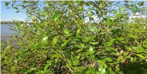
A mangrove tree on the shores of River Tana- eastern side of River Tana at Kipini.
In recent years, Kenya, like other biodiversity rich countries in the tropics has experienced a serious problem of biodiversity degradation as reflected in the declining wildlife populations and rapid loss of forests and wetlands. The decisions on how to reduce biodiversity loss have largely been based on biophysical and economical assessments, with little consideration for the local people's opinions or perspectives. There is need for increased efforts to protect wetlands in Kenya through better management and with greater involvement of the local communities who are the ultimate custodians of such critical environments. Moreover, the floodplain environments such as the Delta/Floodplain and especially the ox-bow lakes in the area are among the least investigated areas in Kenya and yet so important, vulnerable and with a lot of community and development issues. Despite the long standing and important role of wetlands as providers of resources, these systems have in the past been neglected by research, policy and legislation. There is need for a consistent monitoring programme in the Tana Delta.

Breeding nests for weaver birds at Mugombani wetland in Ozi Village.
Given the magnitude of the environmental problems, the CBD has repeatedly emphasized the importance of developing national biodiversity indicators and building capacity for their further development and use. The indicators will inform biodiversity planning and management at the local levels particularly in the case of District Environment Management Plans (DEAPs), District Strategic Plans, site specific management plans and Community Action Plans (CAPs). The findings will also inform the conservation operations of various agencies such as Ramsar Secretariat and environmental NGOs. The project will lead to increased awareness on biodiversity and institute a monitoring programme.
This study area has a high diversity of habitat types and is associated with correspondingly high biological diversity of both flora and fauna. The riverine wetlands are also important ecosystem that acts as a staging, resting, nesting and feeding ground for resident and migratory water birds. Due to its biological importance, the Tana River is an important life sustenance system that provides resources and services used to meet local people’s livelihoods. Different communities including farmers, fishermen, pastoralists and semi-pastoralists utilize the river floodplain for their livelihoods. The study will focus on two villages (Moa- near the ox-bow lakes) and Kipini village (delta and floodplain). Participatory methodologies will be used and there will be collaboration between local communities, the BirdLife Partner in Kenya- Nature Kenya, Kenya Wildlife Service, National Environmental Management Authority, Local Authority, University of Nairobi, BirdLife International and UNEP WCMC.